- Беларуская
- English
- Русский
Languages:
This site is created using Wikimapia data. Wikimapia is an open-content collaborative map project contributed by volunteers around the world. It contains information about 32571010 places and counting.
Learn more about Wikimapia and cityguides.
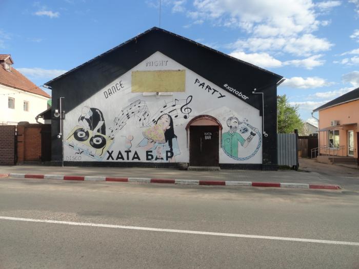
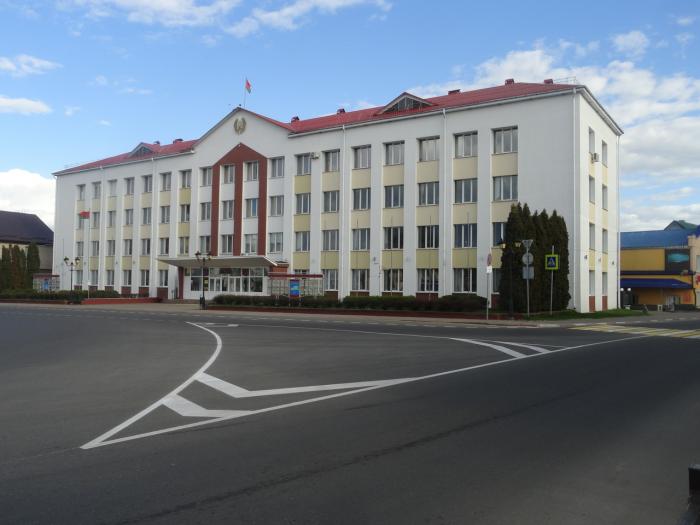
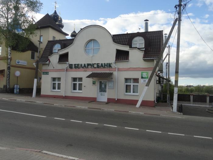
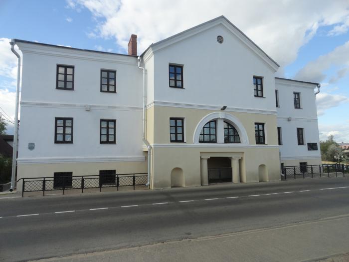
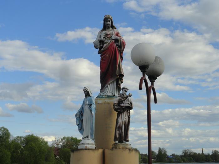
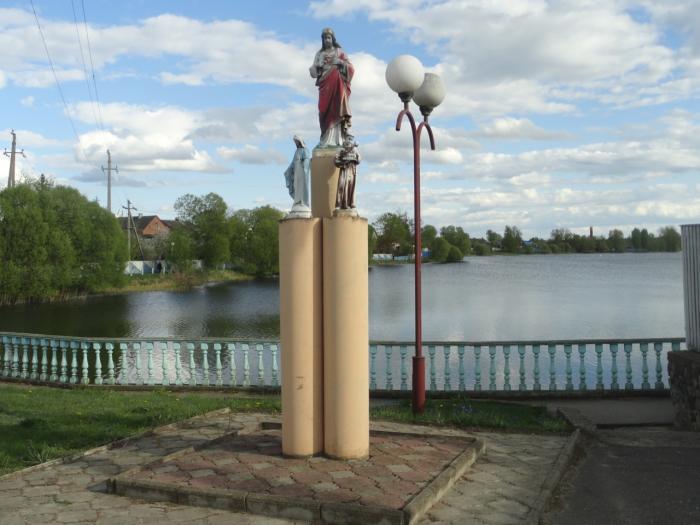
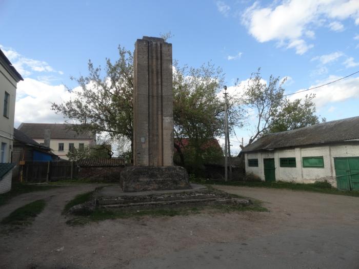
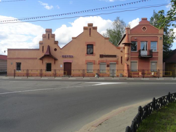
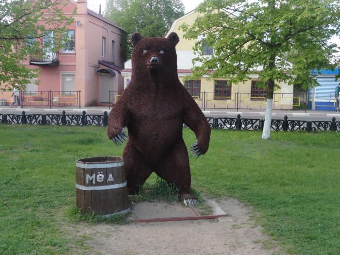
Pastavy
City in Belarus, an administrative center of the Pastavy district.
Wikipedia article: http://en.wikipedia.org/wiki/Pastavy
Pastavy on the map.